Here's the ride, with photos taken during a pleasant morning on Father's Day weekend:
(Emerging from the side door of the garage...)
(...and to the right on Impala Lane...)
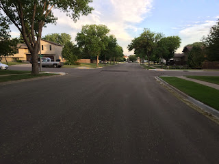
(...another right onto Daytona Drive...)
(...and yet another onto Cody Drive.)
(A speedy downhill section to Canyon Drive...)
(...with the first left turn onto Homestead Drive...)
(...until the stop sign at Country West Road.)
(A short jog on Country West Road until Tyler Parkway...)
(...that opens up nicely with a wide shoulder...)
(...until hopping on the bike trail at Pinto Place...)
(...for about 100 yards until a right on Golf Drive...)
(...and a quick left through the Gate City Bank parking lot...)
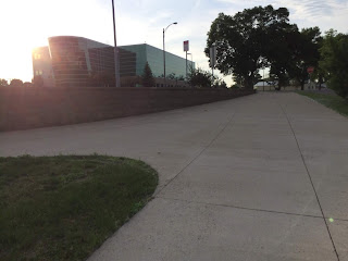
(...which connects to the Bismarck-Mandan Visitor's Center parking lot...)
(...and onto Burnt Boat Road.)
(Passing the entrance to Chief Looking Village...)
(...and down Burnt Boat Road...)
(...to the intersection with River Road...)
(...straight ahead to Pioneer Park...)
(...through the parking lot and past the Spiffy Biff...)
(...and onto the paved multi-use trail.)
(Continuing south past the Lewis & Clark Riverboat...)
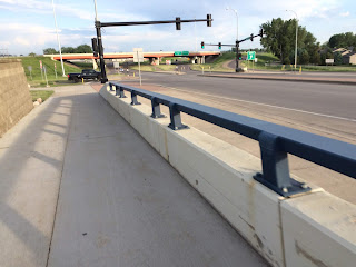
(...under I-94...)
(...past the another Lewis & Clark 'riverboat'...)
(...with the BNSF bridge in the distance...)
(...and then close up...)
(...yielding a nice view of the Missouri River.)
(Continuing south, the path narrows in a residential area...)
(...and passes under Memorial Bridge.)
(Once through, a quick left at a designated street crossing...)
(...up a concrete path...)
(...and a hard left...)
(...that briefly heads north...)
(...and then west...)
(...onto Memorial Bridge and over the Missouri River.)
(On the Mandan side comes a two-stop intersection...)
(...with a narrow choke point...)
(...that causes me to lose focus.)
(Undeterred, I press on under West Bismark Expressway...)
(...and left onto a trail parallel to 46th Avenue SE...)
(...until 19th Street SE...)
(...that takes me directly west...)
(...where my vision is restored...)
(...thanks to the paved trail behind Kist Livestock Auction.)
(The trail bends briefly north...)
(...through an aging stand of Cottonwood trees...)
(...and then west again...)
(...with Prairie West Golf Course to the left...)
(...and Dakotah Centennial Park to the right.)
(Continuing northwest by the Heart River levee...)
(...up a short rise...)
(...past the Fort Lincoln Trolley...)
(...and west again...)
(...where my impaired vision briefly returns...)
(...only to be restored before crossing Hwy 1806)...
(...past Stage Stop...)
(...on 3rd Street SE...)
(...to Mary Stark Elementary School...)
(...where I take a left onto 8th Avenue SW...)
(...until I reach the Mandan Municipal Golf Course...)
(...and veer right onto 7th Street SW...)
(...followed by a quick left on the trail east of 10th Avenue SW.)
(Heading south, the trail passes over...)
(...the Heart River...)
(...where I cross the road...)
(...and take a right to the entrance to the Northern Great Plains Research Laboratory.)
(Seeing the fork in the road...)
(...I take the road less traveled...)
(...past the soil processing building...)
(...until a quick left and through a narrow chute...)
(...leading me to a sidewalk...)
(...that passes two old buildings...)
(...until a roundabout...)
(...that opens to a parking lot...)
(...where I reach the west entrance of the main office building. Commute done!)
The ride home is essentially the same route, excluding Burnt Boat Road in place of the paved trail to Chief Looking’s Village (much steeper, but more scenic).


