
The unseasonably warm weather this November has been a boon
for cyclists in Bismarck-Mandan as opportunities to ride comfortably this late
in the season are rare. I took advantage
of the conditions a couple weekends ago to do a ride focused on visiting
archaeological sites along the Missouri River.
This was a ride I planned last winter, guided by my interest in
agricultural practices used by native peoples in the region. The sites I visited were settlements
previously occupied by the Mandans, who, along with the Arikaras and Hidatsas,
thrived along the Missouri River for hundreds of years following a rich farming
culture.
Starting from home I headed south and west to Chief
Looking’s Village, located just off Burnt Boat Road in Pioneer Park. Stopping at the small parking area, I left my
bike near the entrance and followed a path west to a plateau overlooking the
Missouri River.

(Turning off Burnt Boat Road into Pioneer Park)

(Looking west from the parking lot)
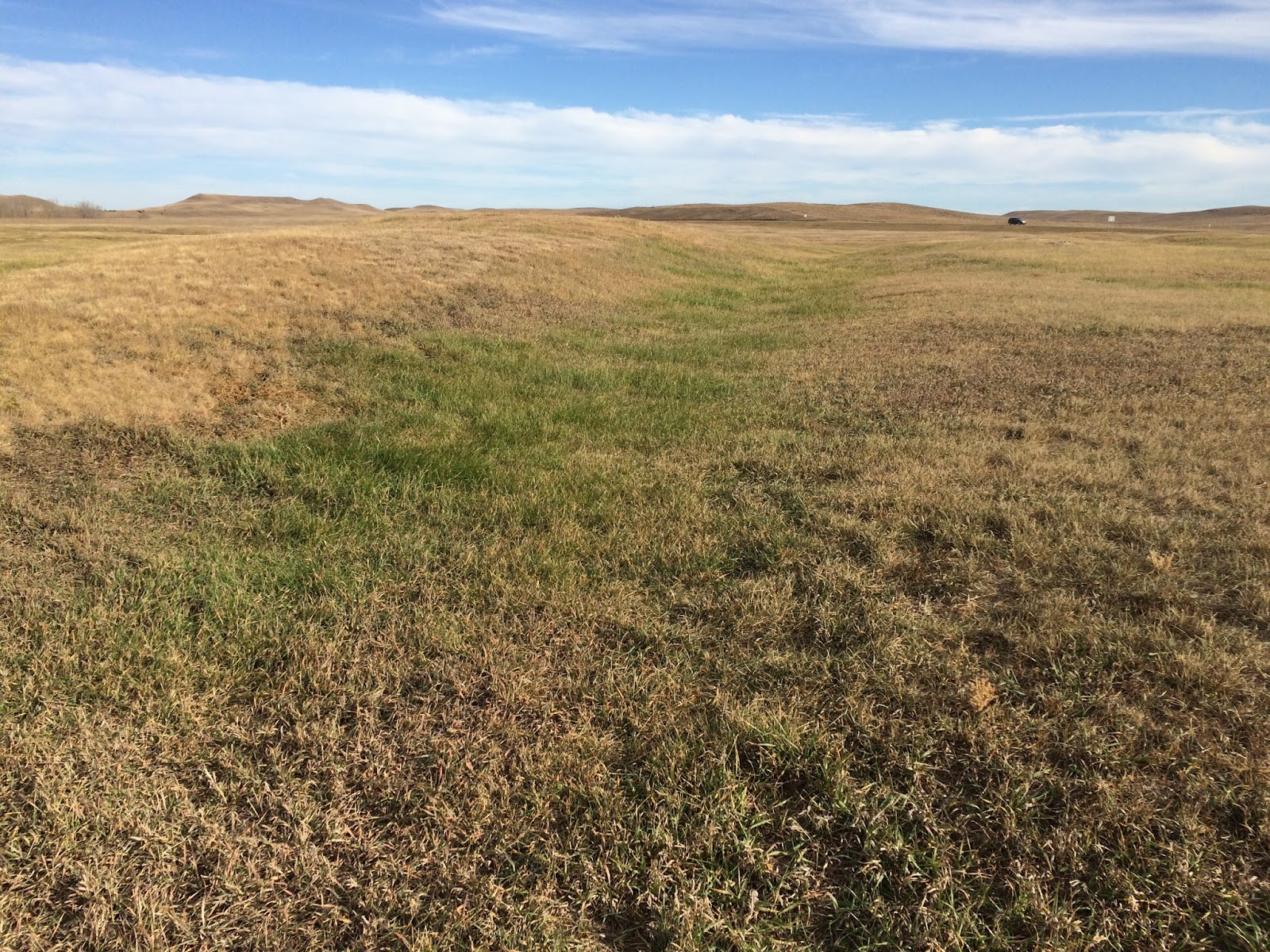
Both rectangular and circular depressions were present at
the site, representing previous lodges.
The presence of both types of depressions reflect a transition in lodge
design, as early Mandan settlements (1500 AD and earlier) favored rectangular
lodges while later settlements favor circular lodges.

(A rectangular depression)
There were numerous educational signs along the path, and I
appreciated learning about maternal inheritance within Mandan families, the
likely location of previous garden plots, and the story of Chief Looking.

(Home ownership passed from mother to daughter)

(12-20 acres per family!)

(A very nice view of the Missouri River)
The next site I visited was Double Ditch Village, located
about nine miles north of Chief Looking’s Village following River Road and
Highway 1804. Despite the narrow
shoulder and presence of rumble strips on 1804, I had a smooth commute. Having biked this section of road numerous
times the past 15 years, I know traffic can be difficult and at times dangerous
for cyclists. No worries today,
thankfully.

(Take a left at the top of the hill)

(Entrance into Double Ditch Village)

(Park and walk)
Double Ditch Village is impressive in its size (>20 acres),
presence of numerous depressions, and two prominent ditches (hence the
name). The ditches were used to protect
villagers from surprise attacks from competing tribes.
(One of the major ditches…
…the photo doesn’t do justice to the size)
Excellent signs with up-to-date text and maps were located
along the walking path, which followed the periphery of the site. Walking the entire length of the path took
about 20 minutes. It was a good break
from riding!

(Sign describing findings from previous archeological
studies)

(Missouri River, looking southwest)

(Massive mounds near the east side of the site are old refuse
piles)
From Double Ditch Village, I retraced my route into Bismarck
and continued to On-A-Slant Village south of Mandan. On-A-Slant Village resides within Fort
Abraham Lincoln State Park near the mouth of the Heart River. This commute was the longest of the day,
helped in no way by a moderate headwind for most of the southbound route. No complaints, though. It was a wonderful day to ride.

(Heading into the park from the north along a nicely paved
multi-use trail)

(Confluence of the Missouri and Heart)

(Welcome sign at On-A-Slant Village)
On-A-Slant Village is unique from the other villages in that
lodges have been reconstructed at the site, providing visitors with a unique
opportunity to experience the interior of structures used for homes and
ceremonies by the Mandan people. Though
I previously visited On-A-Slant Village as part of a Girl Scout function with
my daughter many years ago, this was my first experience inside a reconstructed
lodge. Though large outside, the
confines inside were open but compact, and centered around a fire pit in the
middle of the lodge.

(Reconstructed lodges at On-A-Slant Village)

(Fire pit in the ceremony lodge)

(The interior of a smaller lodge, surprisingly well lit by
natural sunlight)

(Many depressions are found elsewhere at the site)
As I biked home I couldn’t help but think about the loss of
other villages along the Missouri and Heart Rivers, erased from the landscape
as Bismarck and Mandan grew from small settlements to established cities. That said, we are fortunate to have at least
a few preserved sites to facilitate a deeper appreciation of local native cultures.
This was an enjoyable ride, with all sites reasonably close
to town (total distance travelled was less than 45 miles) with limited climbing. Altogether, the ride took just under four and
half hours, including ample time at each site and one stop in Mandan for food
and water. Best of all, incorporating
stops that honored the native history of this wonderful area gave today’s route
a special place among my local rides. I
envision building on this theme in 2017 by visiting historic sites near Menoken
and Washburn.