Hwy 10, West of Mandan

Hwy 10, West of Mandan
Showing posts with label Multi-Use Trails. Show all posts

Sunday, May 15, 2022

Mini City Slickers - A RUSA Populaire

Last weekend I participated in my first RUSA Populaire, the Mini City Slickers 125k. The event closely followed the route I rode in 2018 for the ACP brevet with the same name (minus the 'Mini'). The shorter distance was ideal as April proved to be a horrible month for training, plus there were planned activities later in the day that necessitated I be off the bike by mid-afternoon.

About 25 riders arrived at the East Lake St. Dunn's Brothers for the start of the ride. The weather was fantastic, with clear skies and a light wind from the southeast. Following a group photo (the first for the Minnesota Randonneurs since 2019) we were off, heading south along roads and trails running parallel to the Mississippi River.

(A great morning for a ride)

(Randonneuring again!)

(Trails next to rivers...   ...a common theme on this route)

(A short stretch of gravel on the way to Afton)

(River Road to the west of St. Croix River after an exhilarating descent)

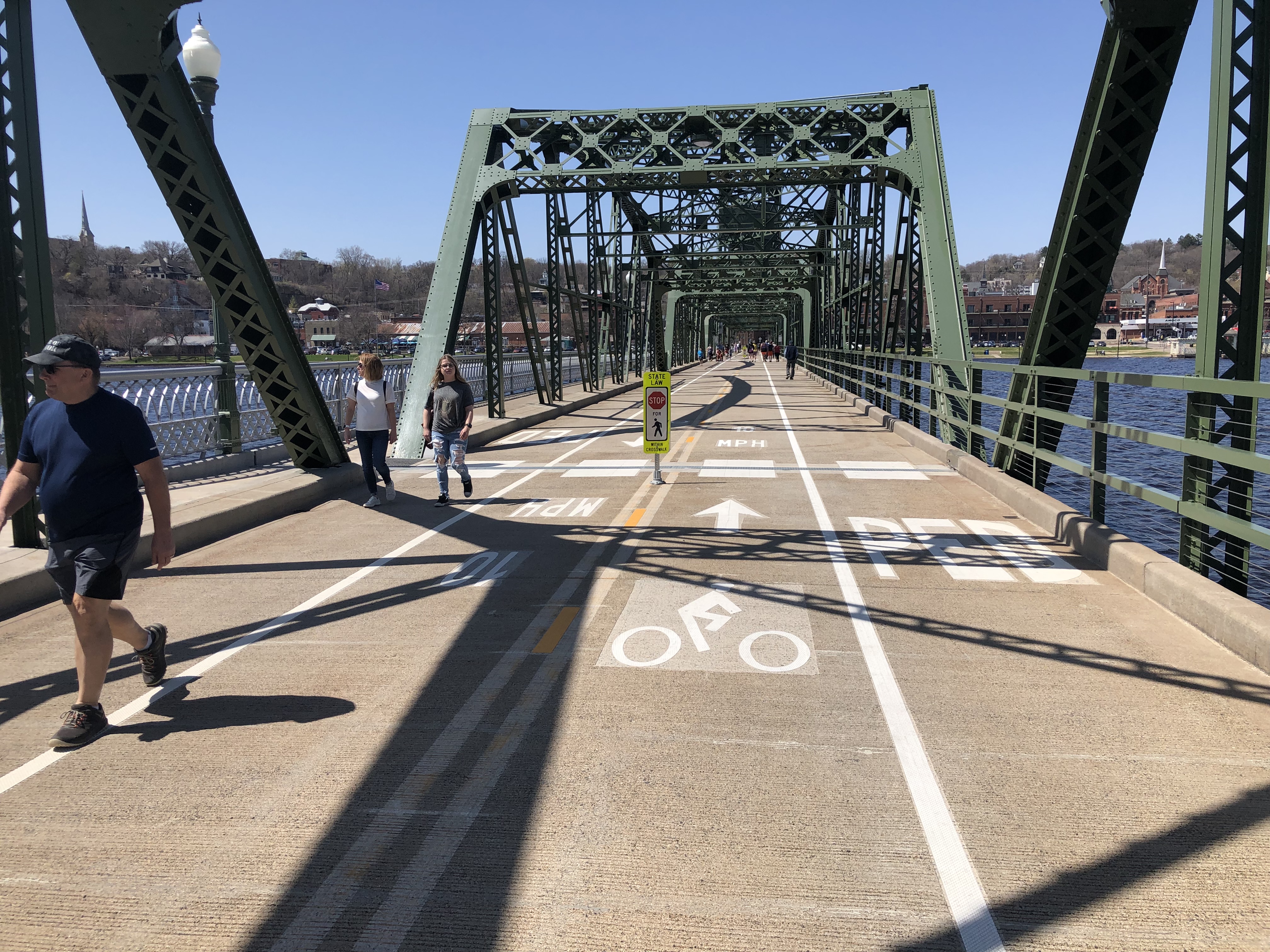
(A wonderful bike/ped bridge heading into Stillwater)

(Heading north on Brown's Creek State Trail)

(On the way to North St. Paul on the Gateway State Trail)

(Bumpy trails loosened a fender attachment. All fixed following a quick stop!)

(Biking in the Como Park neighborhood)

(Crossing the Mississippi River with downtown Minneapolis in the distance)

All went well on this excellent early-season ride. I'm really happy the populaire option was available, as the shortened distance allowed for ample transition time for a return to St. Paul that evening.

(Enjoying time with Susan at Allianz Field.  Go Loons!) 


Sunday, August 26, 2018

RUSA 20th Anniversary Ride


Last weekend the Minnesota Randonneurs hosted a RUSA 20th Anniversary Ride.  I  happened to be in town, thanks to a scheduled trip to Minneapolis to assist my daughter’s return to law school.  One of over 50 such events throughout the country, it was an opportunity to partake in an ‘audax style’ ride in celebration of the growing sport of randonneuring throughout the United States.  As all of the 102 km route was in the Twin Cities, the ride also provided another chance to learn more about the excellent trail network in Minneapolis and St. Paul.

Starting promptly at 8:00 a.m., eight of us left the America Inn parking lot in Apple Valley, MN under smoky skies thanks to recent Canadian wildfires.


(Group photo)

(Heading out, audax style)

After navigating mostly quite roads, we transitioned to trails along the Minnesota River.  The pace was quicker than expected, but given projected afternoon temperatures in the high 80s it made sense to quickly cover ground while conditions were cooler.


(Moving briskly along the Black Dog Trail)

Our first control was at the Minnehaha Falls Restaurant.  This was a timely stop for a bathroom break and a chance to top-off our water bottles.


(Getting ready to leave the first control)

Following the first control we quickly turned onto the Greenway Trail, which was unsurprisingly busy for a Saturday morning.  It was great to see so many different types of bicyclists sharing the trail.


(Overpass to the Greenway Trail with downtown Minneapolis in the background)

(Greenway Trail)

Leaving the trail for Lake of the Isles Parkway, we passed by ornate lakeside homes.  Here, we completed our only informational control of the ride, which was to record the address of the house used by Mary Richards in the Mary Tyler Moore Show.  I soon learned from the locals that it was the house on Kenwood Parkway with no street numbers.  Trick question!


(Mary's sitcom house in the background)

From the neighborhood we moved onto the Cedar Regional Trail, underneath Target Field, and then onto the Stone Arch Bridge to pass over the Mississippi River.

(Target Field)

(Stone Arch Bridge)

The bridge was full of pedestrians and bicyclists, so we slowed our pace to accommodate the additional traffic.  Once we crossed the bridge we headed south on the Dinkytown Greenway until we reached Marshall Avenue and our second control, Izzy’s Ice Cream Parlor.

(Ice cream anyone?)

Izzy’s was closed when we arrived (opened at 11 a.m.), so we opted for pastries and coffee at a nearby cafĂ©.  This was the only time we rested during the ride.

Follow the control we headed east on Summit Avenue until reaching the state capitol, briefly passing by St. Paul Cathedral before navigating downtown steets on our way to the bike trail along Wabasha Street.  After crossing the Mississippi River one last time, we headed south along the Big Rivers Regional Trail, retracing some of our route earlier in the day.


(Moving quickly south, with the Mississippi River to our right)

The remainder of the ride was uneventful following roads with low-to-moderate traffic.  By the time we arrived back to our starting point the air temperature was getting warm enough to be uncomfortable, thanks in large part to an absence of wind.  Happy to be done, my ride arrived shortly after collecting a 20-year RUSA medallion.  It was a good day!


Sunday, July 1, 2018

The Commute

As most riding nowadays involves biking to and from work, I thought it might be interesting to document my commute through pictures and brief narration.  It's an easy, stress-free ride, largely absent of interactions with automobiles thanks in large part to the availability of multi-use trails in Bismarck and Mandan (which make up more than half the route).  Commute time ranges from 40 to 55 minutes, depending on the direction and velocity of wind.


Here's the ride, with photos taken during a pleasant morning on Father's Day weekend:


(Emerging from the side door of the garage...)

(...and to the right on Impala Lane...)

(...another right onto Daytona Drive...)

(...and yet another onto Cody Drive.)

(A speedy downhill section to Canyon Drive...)

(...with the first left turn onto Homestead Drive...)

(...until the stop sign at Country West Road.)

(A short jog on Country West Road until Tyler Parkway...)

(...that opens up nicely with a wide shoulder...)

(...until hopping on the bike trail at Pinto Place...)

(...for about 100 yards until a right on Golf Drive...)

(...and a quick left through the Gate City Bank parking lot...)

(...which connects to the Bismarck-Mandan Visitor's Center parking lot...)

(...and onto Burnt Boat Road.)

(Passing the entrance to Chief Looking Village...)

(...and down Burnt Boat Road...)

(...to the intersection with River Road...)

(...straight ahead to Pioneer Park...)

(...through the parking lot and past the Spiffy Biff...)

(...and onto the paved multi-use trail.)

(Continuing south past the Lewis & Clark Riverboat...)

(...under I-94...)

(...past the another Lewis & Clark 'riverboat'...)

(...with the BNSF bridge in the distance...)

(...and then close up...)

(...yielding a nice view of the Missouri River.)

(Continuing south, the path narrows in a residential area...)

(...and passes under Memorial Bridge.)

(Once through, a quick left at a designated street crossing...)

(...up a concrete path...)

(...and a hard left...)

(...that briefly heads north...)

(...and then west...)

(...onto Memorial Bridge and over the Missouri River.)

(On the Mandan side comes a two-stop intersection...)

(...with a narrow choke point...)

(...that causes me to lose focus.)

(Undeterred, I press on under West Bismark Expressway...)

(...and left onto a trail parallel to 46th Avenue SE...)

(...until 19th Street SE...)

(...that takes me directly west...)

(...where my vision is restored...)

(...thanks to the paved trail behind Kist Livestock Auction.)

(The trail bends briefly north...)

(...through an aging stand of Cottonwood trees...)

(...and then west again...)

(...with Prairie West Golf Course to the left...)

(...and Dakotah Centennial Park to the right.)

(Continuing northwest by the Heart River levee...)

(...up a short rise...)

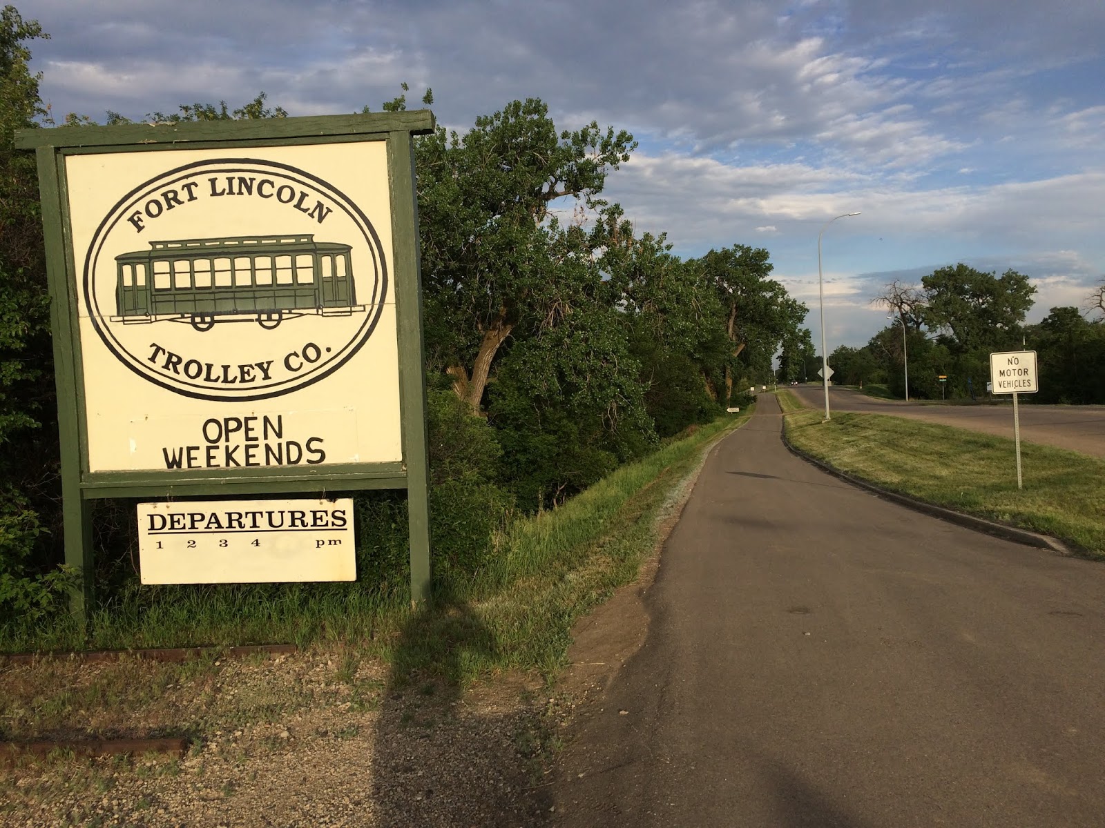
(...past the Fort Lincoln Trolley...)

(...and west again...)

(...where my impaired vision briefly returns...)

(...only to be restored before crossing Hwy 1806)...

(...past Stage Stop...)

(...on 3rd Street SE...)

(...to Mary Stark Elementary School...)

(...where I take a left onto 8th Avenue SW...)

(...until I reach the Mandan Municipal Golf Course...)

(...and veer right onto 7th Street SW...)

(...followed by a quick left on the trail east of 10th Avenue SW.)

(Heading south, the trail passes over...)

(...the Heart River...)

(...where I cross the road...)

(...and take a right to the entrance to the Northern Great Plains Research Laboratory.)

(Seeing the fork in the road...)

(...I take the road less traveled...)

(...past the soil processing building...)

(...until a quick left and through a narrow chute...)

(...leading me to a sidewalk...)

(...that passes two old buildings...)

(...until a roundabout...)

(...that opens to a parking lot...)

(...where I reach the west entrance of the main office building.  Commute done!)

The ride home is essentially the same route, excluding Burnt Boat Road in place of the paved trail to Chief Looking’s Village (much steeper, but more scenic).